Uncover the Geology and Landscapes of Ob Luang’s Canyon and Streams
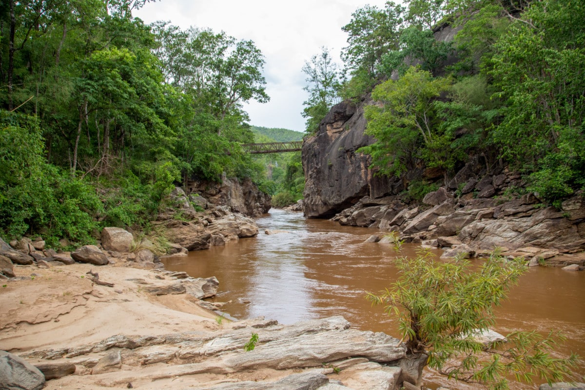
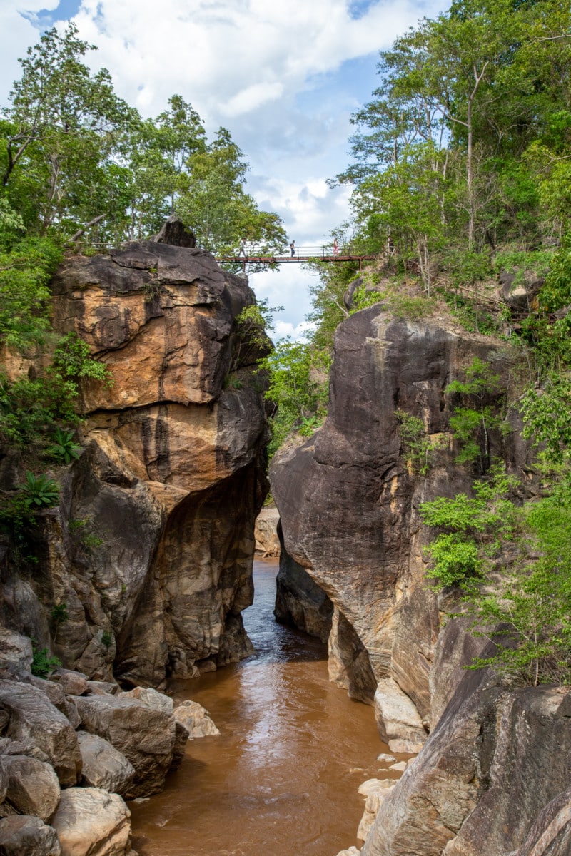
The Ob Luang gorge or canyon is located 17 kilometers of highway number 108 just of Hod and Jomthong district. It is a steep sided canyon with high cliffs. The height of the canyon’s wall measured from the bridge to the average water level is about 32 meters. The narrowest point of the canyon is not more than 2 meters wide while the whole canyon is about 300 meters in length.
The Rock Formations and Flowing Waters of Ob Luang
The source of the Mae Chaem or Salak Hin River is located in Mae Hong Son Province. The Mae Chaem river is the biggest tributary of Hod district and drains its water eventually in the Mae Ping River. The river passes steep cliffs, knolls, valleys and has some islands and sandy beaches. The diversity of landscapes gives the river an extra beautiful dimension.
The Mae Chon Luang streams from the Mae Chon waterfall located 9 kilometers of highway number 108 between Hod and Mae Sariang district.You can follow the stream for about one kilometer from the road until you reach this impressive and high waterfall.The tiered falls have a sheer drop of over 100 meters and are 80 meters wide which makes it a fascinating sight.
The cliffs and rocks of these falls are composed of granite and grey-white colored metamorphic rock. There are 2 small waterfalls, 500 meters and 1500 meters from there.The Thep Phanom hot springs are a 14 kilometers ride from Ob Luang, along highway 108. From this point it is another 9 kilometers to the springs. The cold water in the earth crust is heated up by the thermal energy of the earth and, it doesn’t cool down until it’s released at the surface. The spring area consists of a 1.6-hectare plateau and several small streams with both warm and cold water. There are a total of 15 springs with a streamflow not less than 15 liters per second. The average temperature of the water is 99 degree celsius.


